Dear readers, We're glad to share with you the September 2020 UN-SPIDER Monthly Updates, and would like to make you aware of two UN-SPIDER events that might be of interest to you:
- UNOOSA and the Centre for Space Science and Technology Education for Asia and the Pacific (Affiliated to the United Nations) have launched a Massive Open Online Course (MOOC) on “Geospatial Applications for Disaster Risk Management”. This MOOC is a free and flexible online training programme available to everyone who wants to enhance their capabilities related to the use of geospatial and Earth observation technologies in disaster risk management. Visit the MOOC website for further information and to register.
- UNOOSA is pleased to announce the “United Nations International Conference on Space-based Technologies for Disaster Risk Reduction – Lessons learned during the unprecedented pandemic situation” , to be held online on 24-25 November 2020. This conference is organized by the Beijing office of the United Nations Platform for Space-based Information for Disaster Management and Emergency Response (UN-SPIDER). Visit the event website for further information and to register.
Enjoy the read!
UN-SPIDER at a glance
- 28/09/2020Regional Support Offices involved: Argentina Regional Support Office, Colombia Regional Support Office, Mexico Regional Support Office
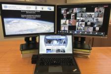
In order to discuss and promote the use of space technologies in addressing natural hazards such as forest fires and landslides in Latin America, UN-SPIDER conducted a virtual regional expert meeting on the topic of “Space-based Solutions for Disaster Risk Reduction and Emergency Response in Latin America” from 22 to 24 September 2020. The meeting was jointly organized with UN-SPIDER Regional... Read more
Country/Region mentioned:
News from our Regional Support Offices
- 27/09/2020Regional Support Offices involved: International Water Management Institute (IWMI)
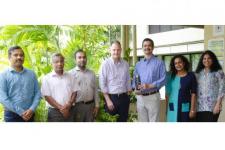
The International Water Management Institute (IWMI), a UN-SPIDER Regional Support Office, has won an award for its innovative work using remote sensing technology to help nations monitor and mitigate the impacts of drought. The Institute received the GeoSpatial World Excellence Award 2020 in recognition of the positive impact of its South Asia Drought... Read more
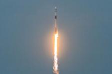
Country/Region mentioned: - 14/09/2020Regional Support Offices involved: Argentina Regional Support OfficeThe Argentinean SAOCOM 1B satellite [was successfully launched](https://www.argentina.gob.ar/noticias/argentina-lanzo-el-satelite-saocom-1b-y-completo-la-mision-espacial-mas-importante-del-pais) into orbit on 30 August 2020. Developed by the National Argentinean Space Commission (CONAE), this new satellite will join SAOCOM 1A and four Italian COSMO-SkyMed to complete the joint Italian-Argentinean... Read moreCountry/Region mentioned:
News from the community
- 30/09/2020
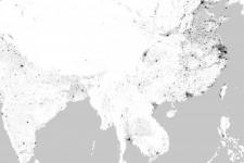
A new world map developed by the German Aerospace Centre (DLR) reveals settlement structures on Earth in 2015 with a resolution of 10 metres. The World Settlement Footprint 2015 (WSF2015), which is... Read more
Satellite(s) and sensor(s) used: - 18/09/2020
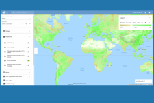
Google and the Food and Agriculture Organization (FAO) of the United Nations have launched a new tool that provides access to multidimensional maps and statistics showing key climate and environmental trends. Earth Map draws on the processing power of Google Earth Engine and aims to... Read more
Satellite(s) and sensor(s) used: - 09/09/2020
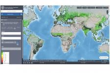
The Food and Agriculture Organization of the United Nations (FAO) has launched a geospatial data platform that aims to help build stronger food and agriculture sectors post COVID-19. The Hand-in-Hand system provides access to a wide range of data on food, agriculture, socioeconomics... Read more
