Recommended Practice: Agriculture Drought Monitoring and Hazard Assessment using Google Earth Engine |
Drought |
Google Earth Engine (Google) |
MODIS Vegetation Product (NASA) |
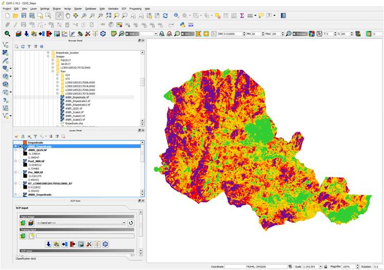
Recommended Practice: Burn Severity Mapping |
Forest Fire |
RStudio, QGIS, Google Earth Engine (Google), Python |
Landsat 8 (NASA), Earth Explorer (USGS), Sentinel 2 - Imagery (ESA) |
Recommended Practice: Disaster Preparedness Using Free Software Extensions |
Earthquake, Flood, Tsunami, Volcanic Eruption |
QGIS |
MODIS Level 1, Atmosphere and Land data products (NASA), OpenStreetMap (Geofabrik), Global Flood Awareness System (GLoFAS - Copernicus EMS), Database of Global Administrative Areas (GADM), WorldPop |
Recommended Practice: Drought monitoring using the Standard Vegetation Index (SVI) |
Drought |
R CRAN(Comprehensive R Archive Network), Python, RStudio, Google Earth Engine (Google) |
MODIS Vegetation Product (NASA), Crop monitoring - GEOGLAM (GEO) |
Recommended Practice: Drought monitoring using the Standardized Precipitation Index (SPI) |
Drought |
Google Earth Engine (Google) |
Climate Hazard group InfraRed Precipitation with Stations (CHIRPS - UCSB, USGS) |
Recommended Practice: Drought monitoring using the Vegetation Condition Index (VCI) |
Drought |
ENVI (Exelis), R CRAN(Comprehensive R Archive Network), Python, RStudio |
MODIS Vegetation Product (NASA), Crop monitoring - GEOGLAM (GEO) |
Recommended Practice: Earthquake Urban Damage Detection Using Sentinel-1 Data |
Earthquake |
QGIS, Sentinel Application Platform (SNAP) |
Sentinel 1 - SAR Dataset (ESA) |
Recommended Practice: Exposure Mapping |
Drought, Earthquake, Extreme Temperature, Forest Fire, Flood, Insect Infestation, Mass Movement, Pollution, Severe Storm, Tsunami, Volcanic Eruption |
QGIS |
WorldPop, Land Cover Map (GlobeLand 30 - NGCC) |
Recommended Practice: Exposure Mapping |
Drought, Earthquake, Extreme Temperature, Forest Fire, Flood, Insect Infestation, Mass Movement, Pollution, Severe Storm, Tsunami, Volcanic Eruption |
QGIS |
WorldPop, Land Cover Map (GlobeLand 30 - NGCC) |
Recommended Practice: Exposure Mapping |
Drought, Earthquake, Extreme Temperature, Forest Fire, Flood, Insect Infestation, Mass Movement, Pollution, Severe Storm, Tsunami, Volcanic Eruption |
QGIS |
WorldPop, Land Cover Map (GlobeLand 30 - NGCC) |
Recommended Practice: Exposure Mapping |
Drought, Earthquake, Extreme Temperature, Forest Fire, Flood, Insect Infestation, Mass Movement, Pollution, Severe Storm, Tsunami, Volcanic Eruption |
QGIS |
WorldPop, Land Cover Map (GlobeLand 30 - NGCC) |
Recommended Practice: Exposure Mapping |
Drought, Earthquake, Extreme Temperature, Forest Fire, Flood, Insect Infestation, Mass Movement, Pollution, Severe Storm, Tsunami, Volcanic Eruption |
QGIS |
WorldPop, Land Cover Map (GlobeLand 30 - NGCC) |
Recommended Practice: Exposure Mapping |
Drought, Earthquake, Extreme Temperature, Forest Fire, Flood, Insect Infestation, Mass Movement, Pollution, Severe Storm, Tsunami, Volcanic Eruption |
QGIS |
WorldPop, Land Cover Map (GlobeLand 30 - NGCC) |
Recommended Practice: Exposure Mapping |
Drought, Earthquake, Extreme Temperature, Forest Fire, Flood, Insect Infestation, Mass Movement, Pollution, Severe Storm, Tsunami, Volcanic Eruption |
QGIS |
WorldPop, Land Cover Map (GlobeLand 30 - NGCC) |
Recommended Practice: Exposure Mapping |
Drought, Earthquake, Extreme Temperature, Forest Fire, Flood, Insect Infestation, Mass Movement, Pollution, Severe Storm, Tsunami, Volcanic Eruption |
QGIS |
WorldPop, Land Cover Map (GlobeLand 30 - NGCC) |
Recommended Practice: Exposure Mapping |
Drought, Earthquake, Extreme Temperature, Forest Fire, Flood, Insect Infestation, Mass Movement, Pollution, Severe Storm, Tsunami, Volcanic Eruption |
QGIS |
WorldPop, Land Cover Map (GlobeLand 30 - NGCC) |
Recommended Practice: Exposure Mapping |
Drought, Earthquake, Extreme Temperature, Forest Fire, Flood, Insect Infestation, Mass Movement, Pollution, Severe Storm, Tsunami, Volcanic Eruption |
QGIS |
WorldPop, Land Cover Map (GlobeLand 30 - NGCC) |
Recommended Practice: Exposure Mapping |
Drought, Earthquake, Extreme Temperature, Forest Fire, Flood, Insect Infestation, Mass Movement, Pollution, Severe Storm, Tsunami, Volcanic Eruption |
QGIS |
WorldPop, Land Cover Map (GlobeLand 30 - NGCC) |
Recommended Practice: Flood Hazard Assessment |
Flood |
HEC-RAS Hydrologic Engineering Centers River Analysis System (US Army Corps of Engineers) |
WorldDEM™ (AIRBUS) |
Recommended Practice: Flood Hazard Mapping |
Flood |
ArcGIS Desktop (esri), ArcHydroTools, HEC-GeoHMS - Hydrologic Engineering Center, HEC-GeoRAS - Hydrologic Engineering Center |
Cedar Creek DEM and Land Use (USGS), Land Cover Map (GLC2000 - JRC), GlobCover (ESA), Global Map-Global Land Cover (GLCNMO - ISCGM), Land Cover Map (LCI - USGS), Land Cover Map (Corine Land Cover - EEA) |
Recommended Practice: Flood Mapping and Damage Assessment Using Sentinel-1 SAR Data in Google Earth Engine |
Flood |
Google Earth Engine (Google) |
MODIS Land Cover Products (NASA), Sentinel 1 - SAR Dataset (ESA), Global Human Settlement Layer (GHSL - JRC), Global Surface Water (JRC) |
Recommended Practice: Flood Mapping and Damage Assessment using Sentinel-2 (S2) Optical Data |
Flood |
QGIS |
Sentinel 2 - Imagery (ESA) |
Recommended Practice: How to measure SFDRR target B5 - estimation of the number of people affected by drought |
Drought |
R CRAN(Comprehensive R Archive Network), RStudio, TIMESAT |
MODIS Vegetation Product (NASA) |
Recommended Practice: Land Cover Change Detection through Supervised Classification |
Forest Fire |
QGIS |
Sentinel 2 - Imagery (ESA) |
Recommended Practice: Mudslides and Associated Flood Detection Using Sentinel-1 Data |
Mass Movement |
Sentinel Application Platform (SNAP), QGIS |
Sentinel 1 - SAR Dataset (ESA) |
Recommended Practice: Radar-based Flood Mapping |
Flood |
Google Earth Pro, Sentinel Application Platform (SNAP), Python |
Sentinel 1 - SAR Dataset (ESA) |
Recommended Practice: Use of Digital Elevation Data for Storm Surge Coastal Flood Modelling |
Flood, Severe Storm |
QGIS |
WorldDEM™ (AIRBUS) |
Recommended Practice: Use of Digital Elevation Data for Storm Surge Coastal Flood Modelling |
Flood, Severe Storm |
QGIS |
WorldDEM™ (AIRBUS) |