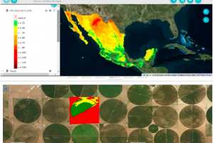
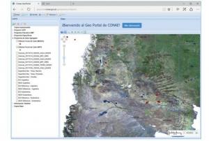
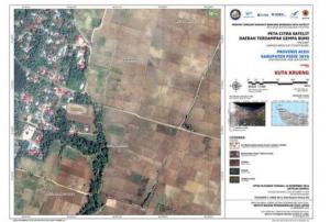
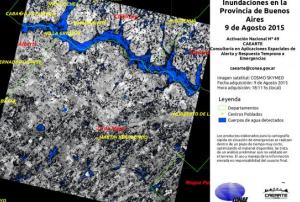
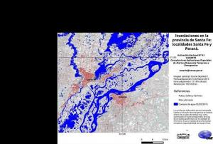
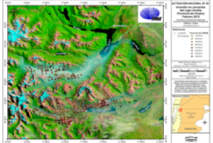
In collaboration with the National Commission for Space Activities (CONAE) of Argentina, the Mexican Space Agency (AEM) recently launched a digital platform to improve the integration of satellite data for environmental monitoring in Latin America. The Comprehensive Regional Satellite Information System (SIRIS) provides access to satellite information in order to enhance decision-making and facilitate disaster management.
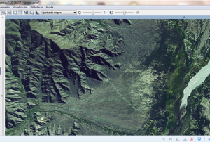
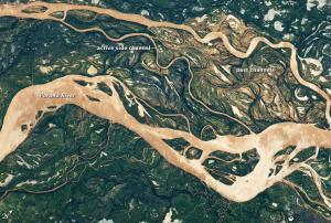
The SIRIS platform provides access to satellite imagery for different areas. The platform supplies information on the agriculture and forestry sector to better monitor the impact of natural disasters on agricultural production and woodland. It also offers up-to-date and archived data on fires to strengthen early warning and build long-term resilience. On floods, information provided by SIRIS indicates the water level to improve damage evaluation of the impacted area and facilitate humanitarian relief. In...
more